
Drone-borne mapping of soil texture
A gamma-ray spectrometer is a proven tool in mapping the soil composition and is often used on a ground-borne vehicle as a tractor, gater or quad. However, when crops are planted on the fields, access to the field is difficult and the mapping is delayed until the harvesting season. The use of a drone can overcome this problem and gives the opportunity to map the fields for soil properties during the growing season.
Mapping
An field in the province of Zeeland (southwestern part of the Netherlands), was mapped with an MS-1000 gamma-ray spectrometer mounted under a drone. The sensor has a weight of 6.4 kg and was mounted under a commercially available drone (DJI matrice 600 pro). The field has a size of 5 hectares and the drone was flown at an elevation of ±10m above ground at a line spacing of 10 m. The field was mapped in 1.5 hrs.
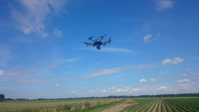
The MS1000 gamm-ray spectrometer (blue tube) mounted under the drone. The field was mapped while crop was present.
Data analysis
After mapping, the data was analysed and corrected for elevation with the GAMMAN software package. This results in maps of the concentrations of 40K, 232Th, 238U.
Application model
In an earlier project, the field was mapped on clay content by taking samples. For this sampling, 5 zones were determined based on elevation maps. These samples were not available, but the resulting zonation of clay content was used to translate the concentration of radionuclides to maps of clay content.
Research on mapping soil clay contents in Dutch marine districts using gamma-ray spectrometry showed that the concentration of thorium is an excellent proxy for clay content in this region. Therefore, the concentration of thorium was used as proxy for the clay content.
Map
The resulting map of clay content shows how the clay content varies between 0% and 40%. The maps shows a detailed variation within the field at a higher resolution than was achieved with only the sampling in zones.
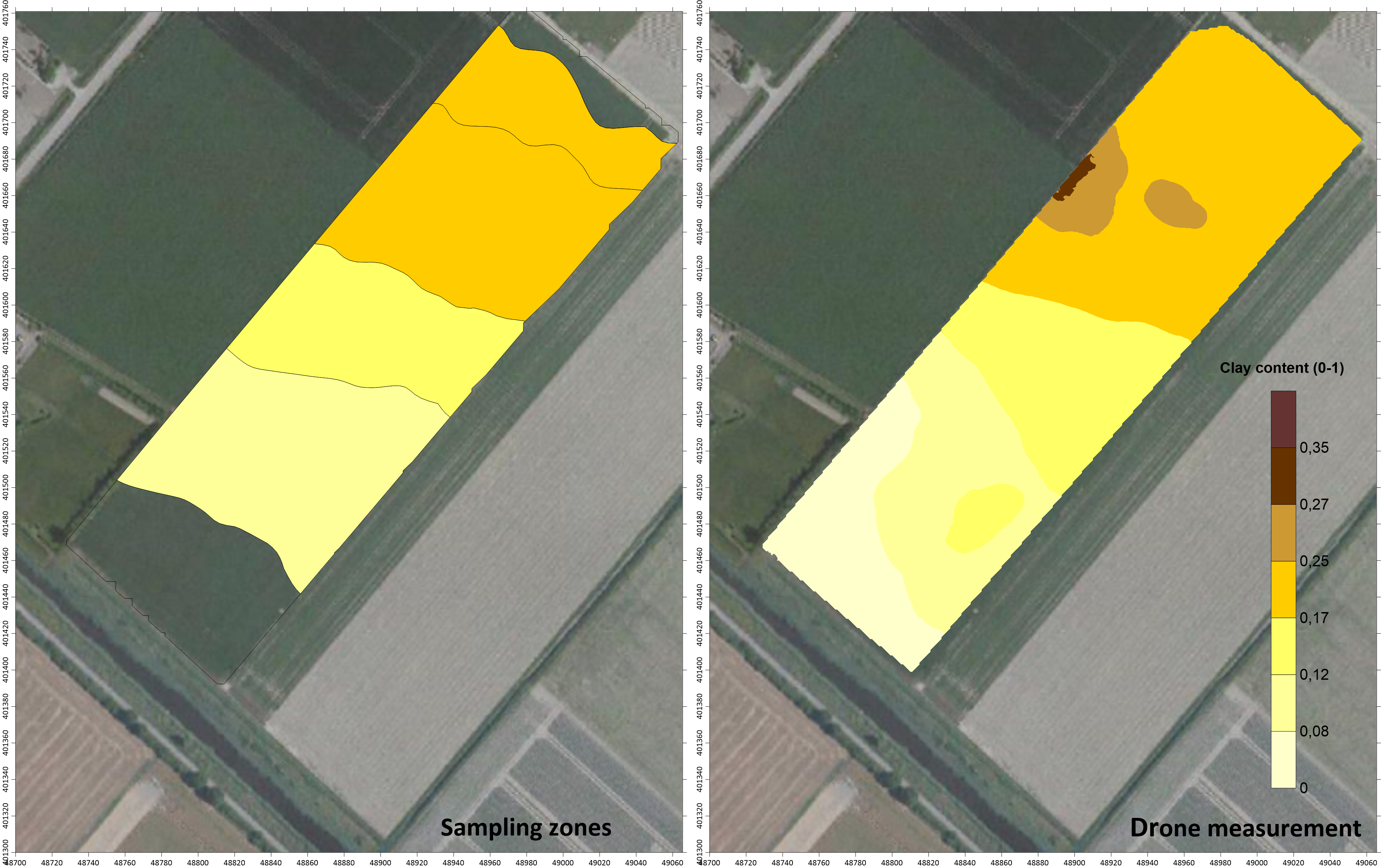
Maps showing the clay content based on samples (left) and results of the drone-borne mapping.