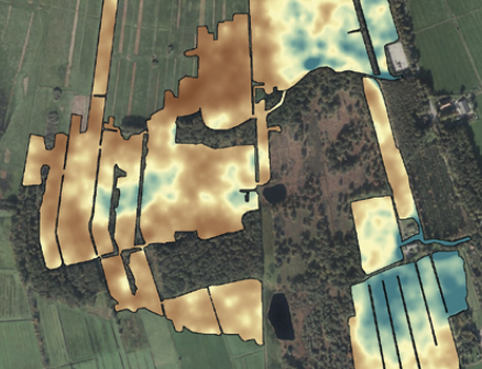
Drone-borne mapping
| Title | Topic | Year | Download paper |
|---|---|---|---|
| Upscaling ground-based backpack gamma-ray spectrometry to spatial resolution of UAV-based gamma-ray spectrometry for system validation | This article compares the accuracy of UAV-based measurements with backpack-based systems, particularly in mapping U-238 specific activities. The study finds that UAV-based systems can accurately measure radiation levels with sufficient spatial resolution, despite their lower spatial support compared to ground-based methods, making them suitable for large-scale uranium waste mapping. | 2024 | free sciencedirect download |
| Guidelines for UAV-borne radioelement mapping (IAEA) | A practical guide describing how to set-up a gamma-ray survey with a drone. About choice of sensor, flight lines, calibration, data analysis and reporting. These guidelines are summary from the PhD thesis of Steven van der Veeke, and are a deliverable from the IAEA CRP D12014. | 2023 | 20230428 - Guidelines for UAV-borne radioelement mappinng (IAEA).pdf |
| PhD thesis Steven van der Veeke | UAV-borne radioelement mapping: towards a guideline and verification methods for geophysical field measurements | 2023 | |
| GIM | Soil Mapping with Drones | 2022 | |
| Journal of Environmental Radioactivity article | Optimizing gamma-ray spectrometers for UAV-borne surveys with geophysical applications | 2021 | |
| Journal of Environmental Radioactivity article | Footprint and height corrections for UAV-borne gamma-ray spectrometry studies | 2021 | |
| Fast Times article | Drone-borne gamma-ray spectrometry – a dream come true! | 2020 | |
| First Break article | Towards drone-borne gammaray mapping of soils | 2019 | |
| EAGE NSE-2018 invited talk | A drone as platform for airborne gamma-ray surveys to characterize soil and monitor contaminations | 2018 | |
| EAGE NSE-2018 extended abstract | Drone-borne surveying with spectrometers - case studies | 2018 |