
Best practices for an underwater survey
Sensor characteristics
The MS-1200 MUS is the latest version of our classic "MEDUSA" (Multi Element Detector for Underwater Sediment Activity) sediment mapping system. The original MEDUSA system was developed back in the 90's at the University of Groningen. The primary goal was to create a tool to map sediments and heavy minerals along the Dutch coasts. The MEDUSA system is a true "multi-sensor" system as it combines a gamma-ray sensor with a sound sensor, pressure sensors, IMU and temperature sensor.
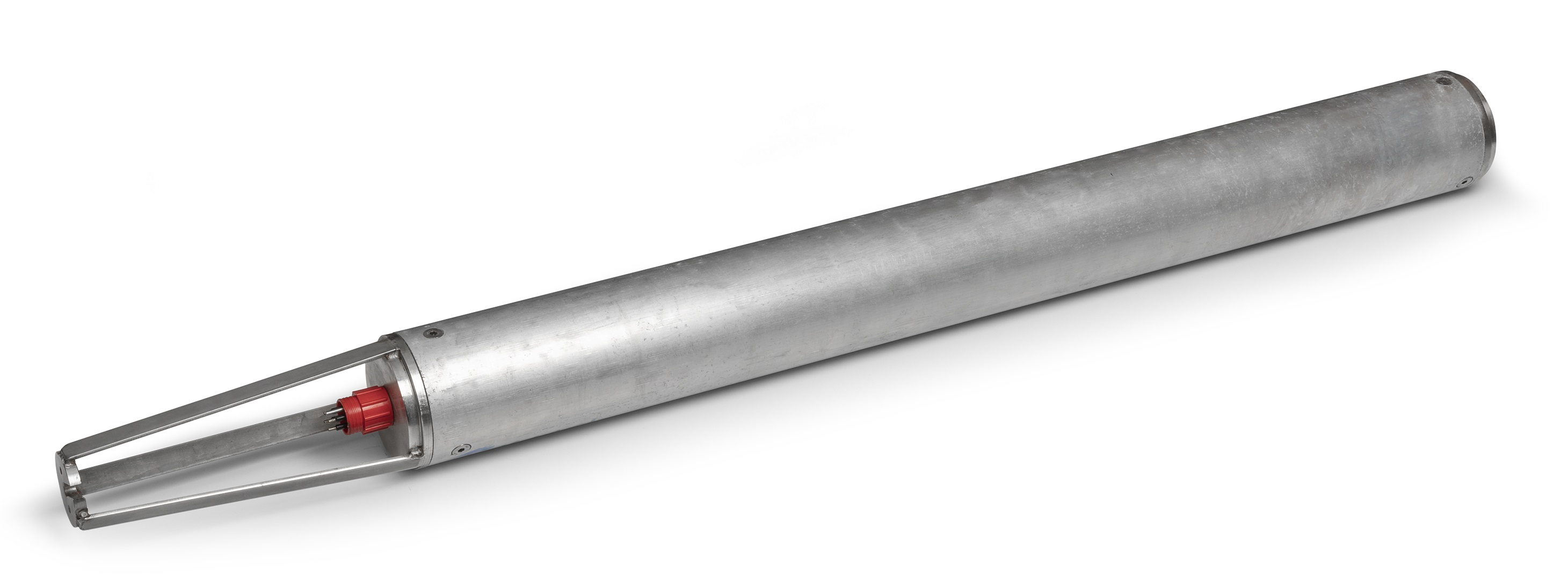
The MS-1200 sensor, with a length of 850 mm and diameter of 120 mm.
Power and communications are transferred over the 0.25' steel wire armoured tow cable that has a 1km maximum length. The sensor position is calculated by using a (RTK) GPS system and the electronically registered cable length. The system is proteted by a 5'rubber hose. The front end of the hose has a protective steel front piece and is towed at a slight angle to prevent from hitting obstacles or getting stuck.
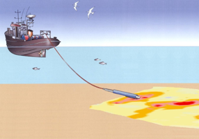
The Medusa sensor is towed behind a vessel and should be in contact with the sediment.
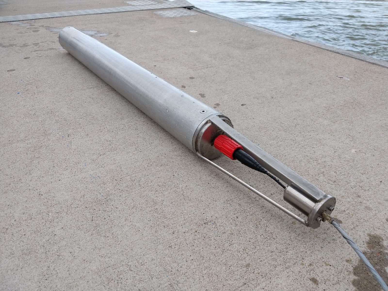
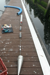
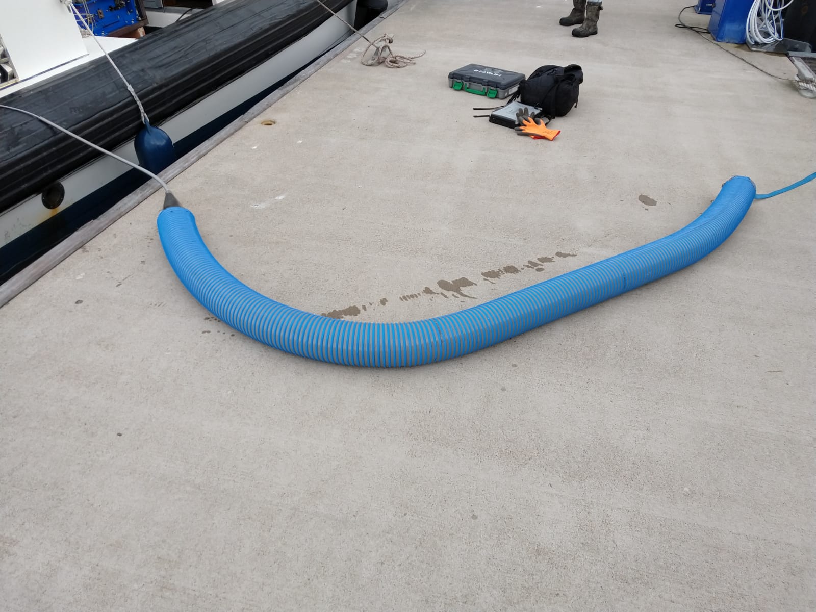
The sensor is mounted into a (blue) hose for protection. To prevent the sensor from floating, additional weights are mounted on the cable.
For shallow water surveys in the range of 1-5 meter depth, a lightweight manual winch is used. For these surveys a small motorboat with an engine of around 15bhp is sufficient. Used cable lengths vary from around 5 meters for very shallow water up to 20 meters for depths up to 5 meters. Survey speeds depend on circumstances like complexity of the survey area, other traffic, current, obstacles and the ruggedness of the sediment bed. Typically, survey speeds of around 6-10 km/h are common.
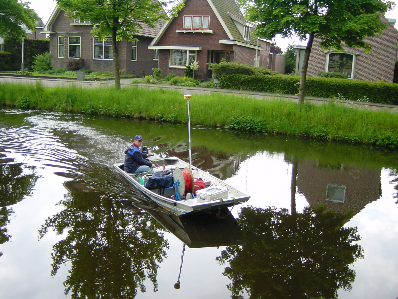
The standard vessel for mapping is a small boat with an engine of 15 HP.
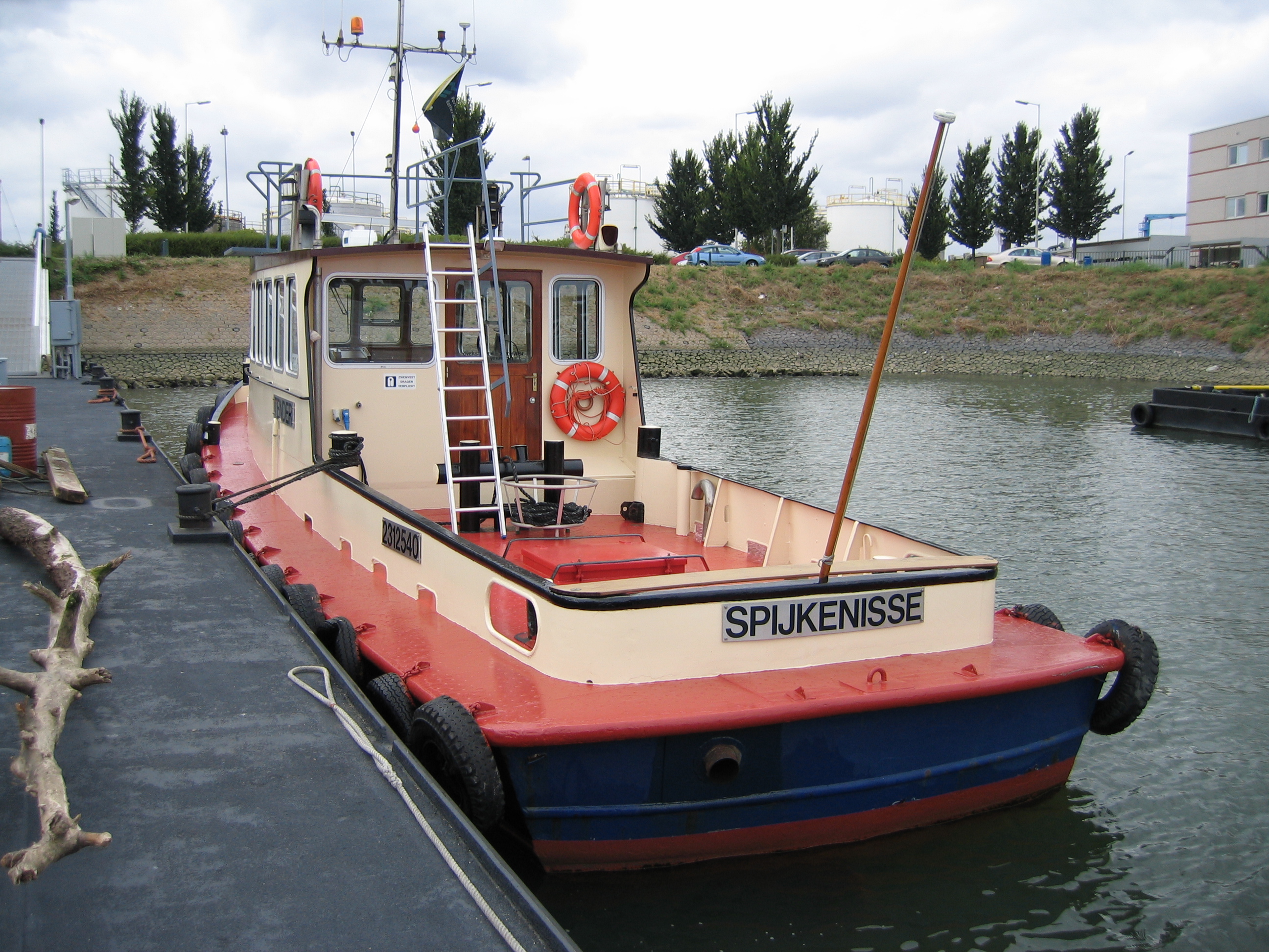
Examples of vessels of opportunity used for shallow water surveys
Surveys in deeper water
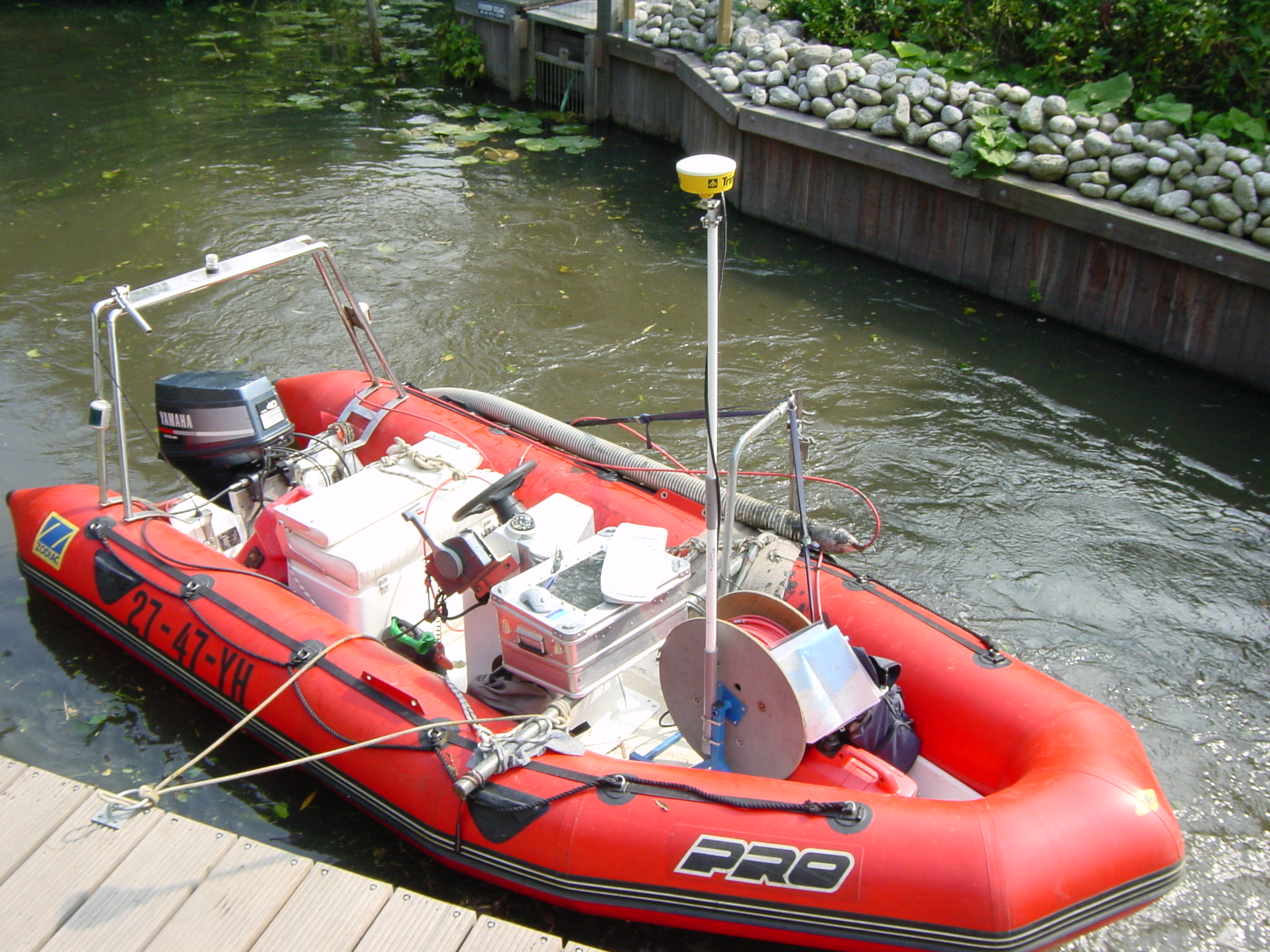
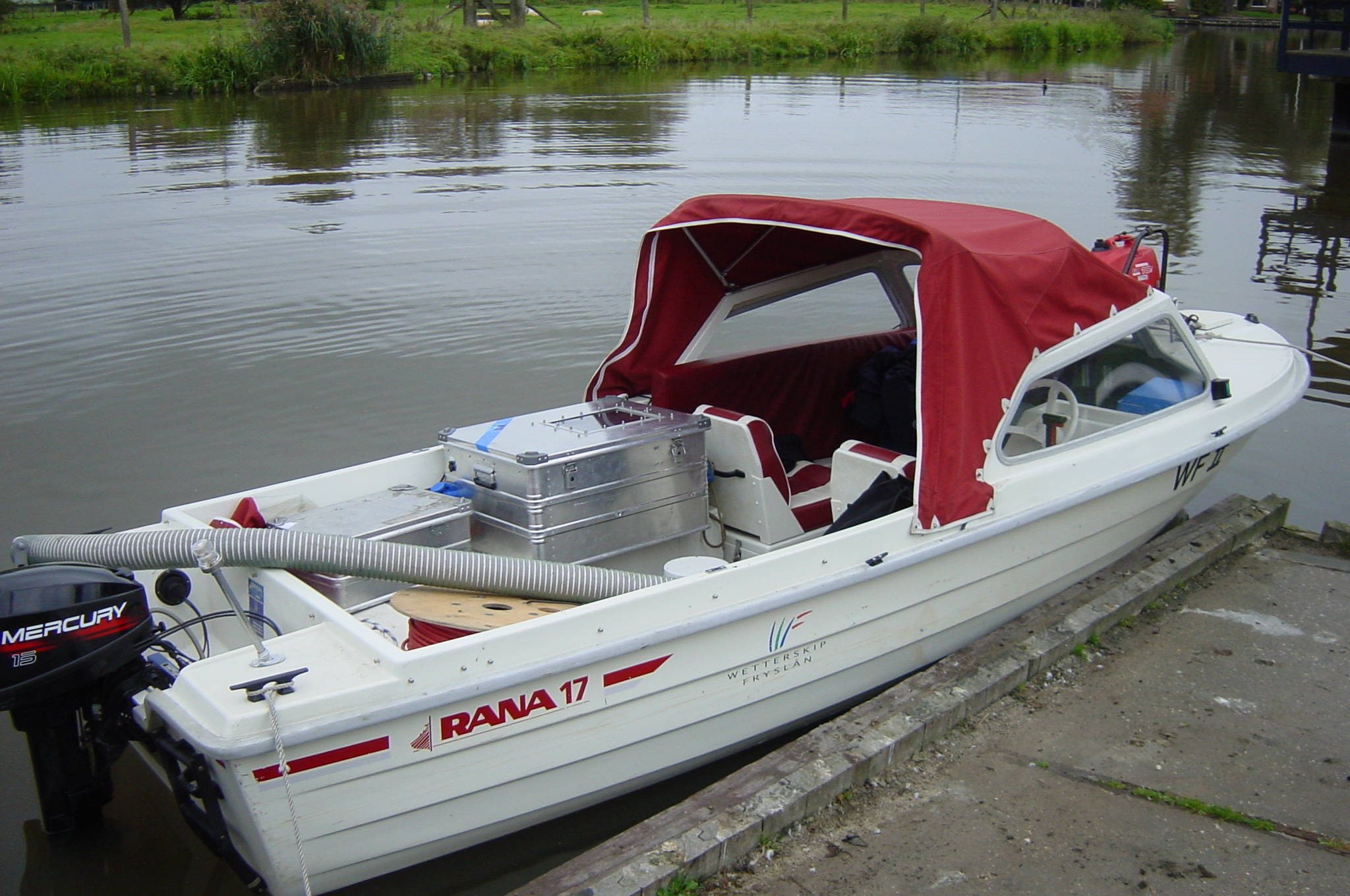
For water depths of more than 5 m, a longer cable length is needed to maintain sediment contact. Therefore, a larger electric winch weighing around 200kgs is used. To cope with the additional weight, and for safetyreasons that go along with the usually more open waters, slightly larger vessels are used for this type of survey.
During these surveys a cable length of 5-10 times the water depth is used. Survey velocities are in the range of 16-12 km/hr (5-6 knots), according to circumstances like current, waves, other traffic etc.
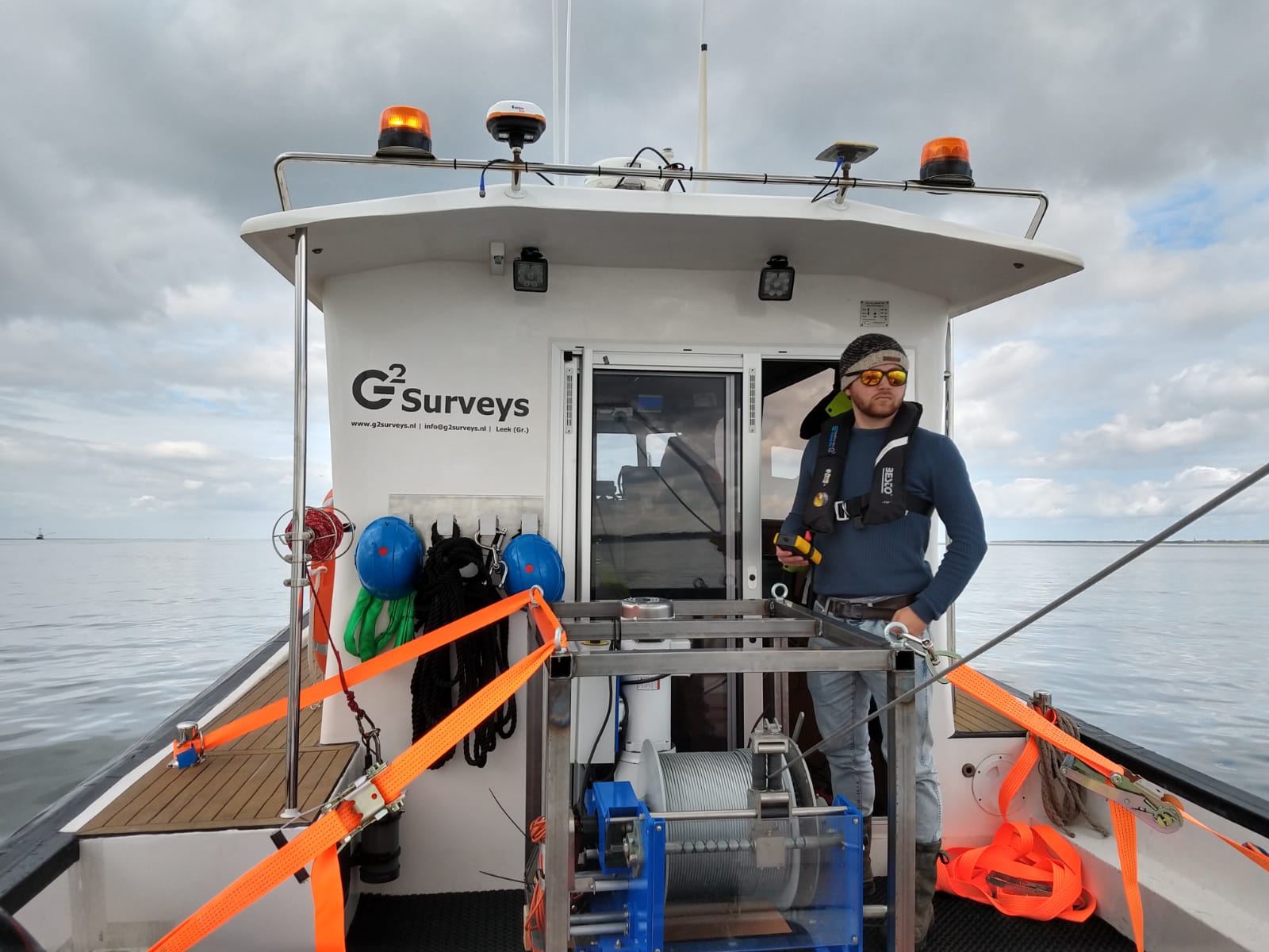
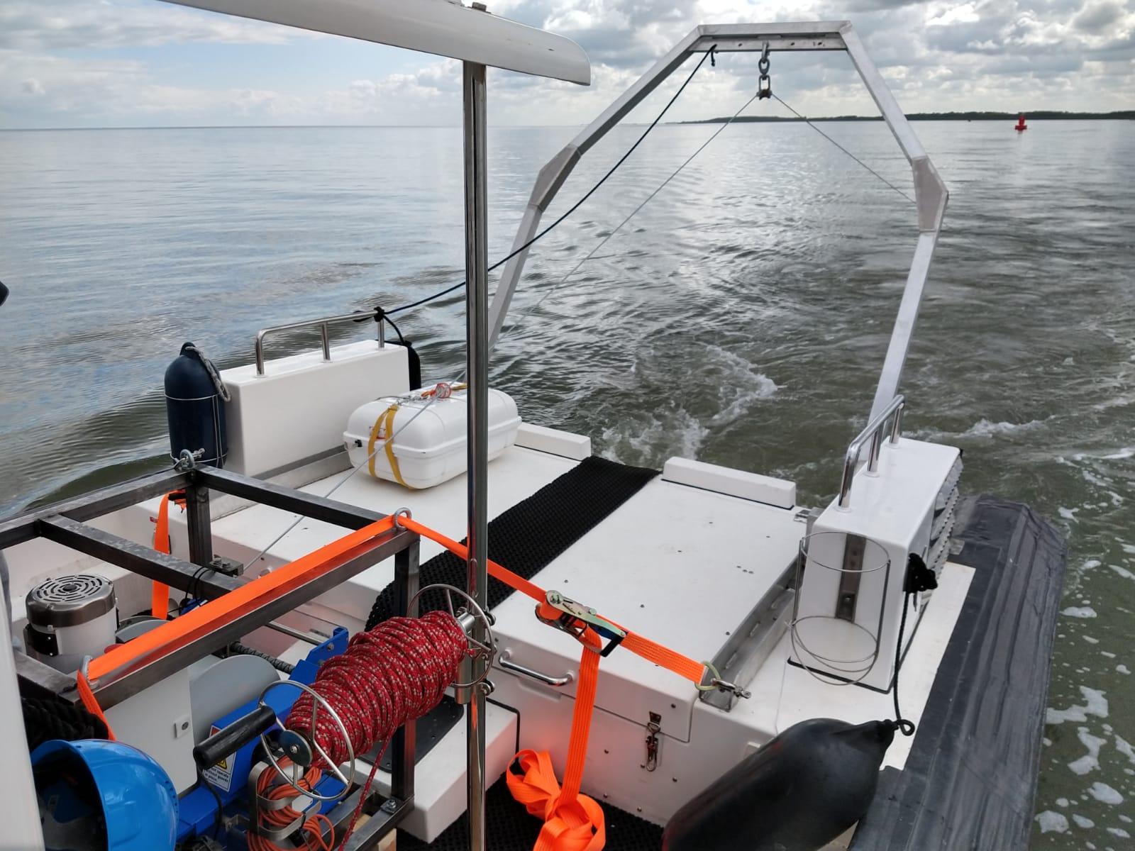
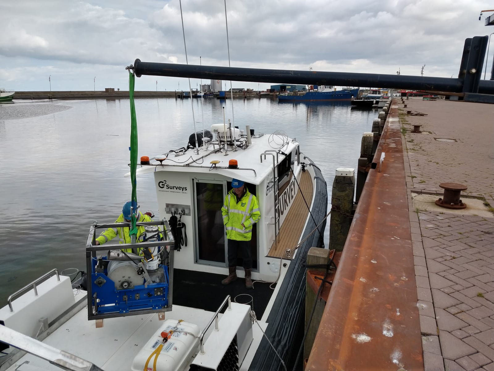
The cable is mounted on a winch and the cable is guided over an A-frame.
Survey lines
The exact number of survey lines depend on the expected spatial variability, on the specific question (are you looking for a hot-spot or large scale variations) and on the practical aspects of the site. To measure the changes in sediment composition effectively, we try to measure perpendicular to the expected variation in sediment composition.
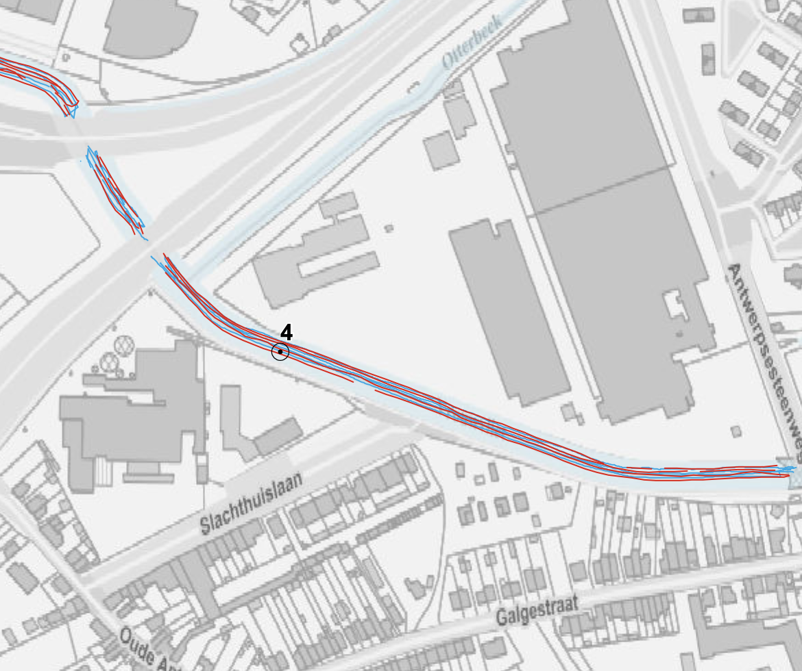
In this small river, the variation in the length of the river is important. Therefore, lines parallel to the river are measured.
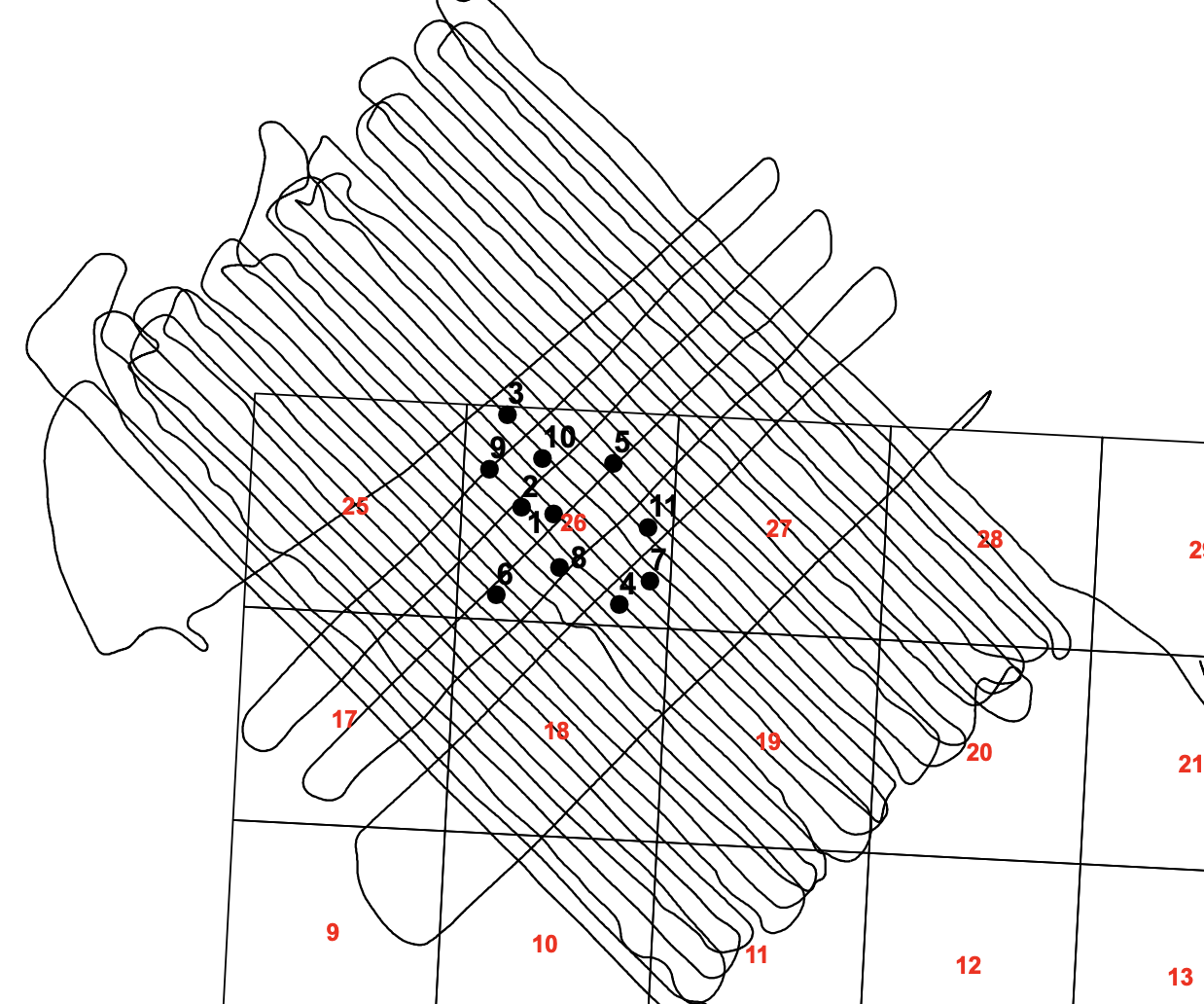
For this site, the emphasis was on the variations in the central square (no 26) therefore additional tie-lines were measured.